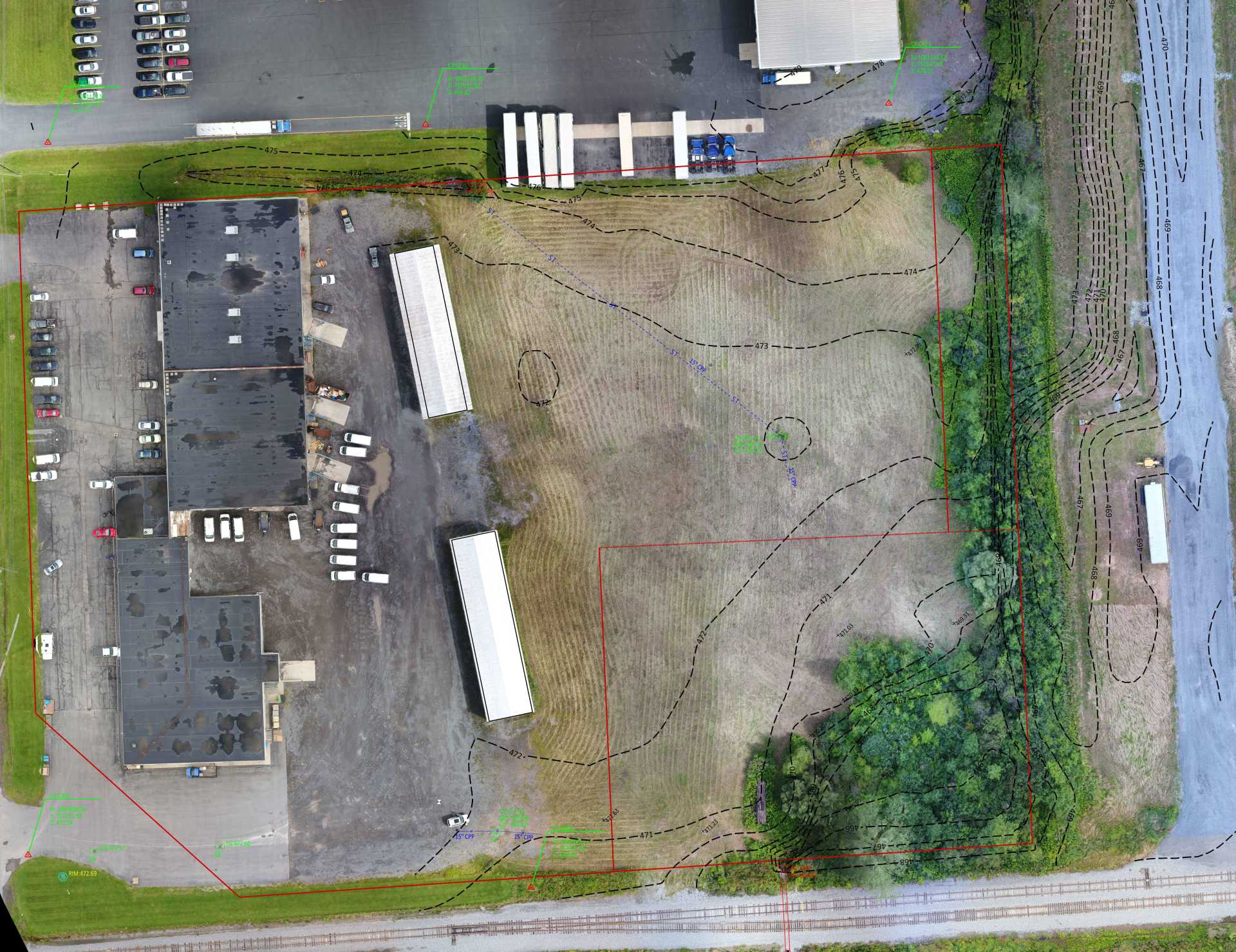
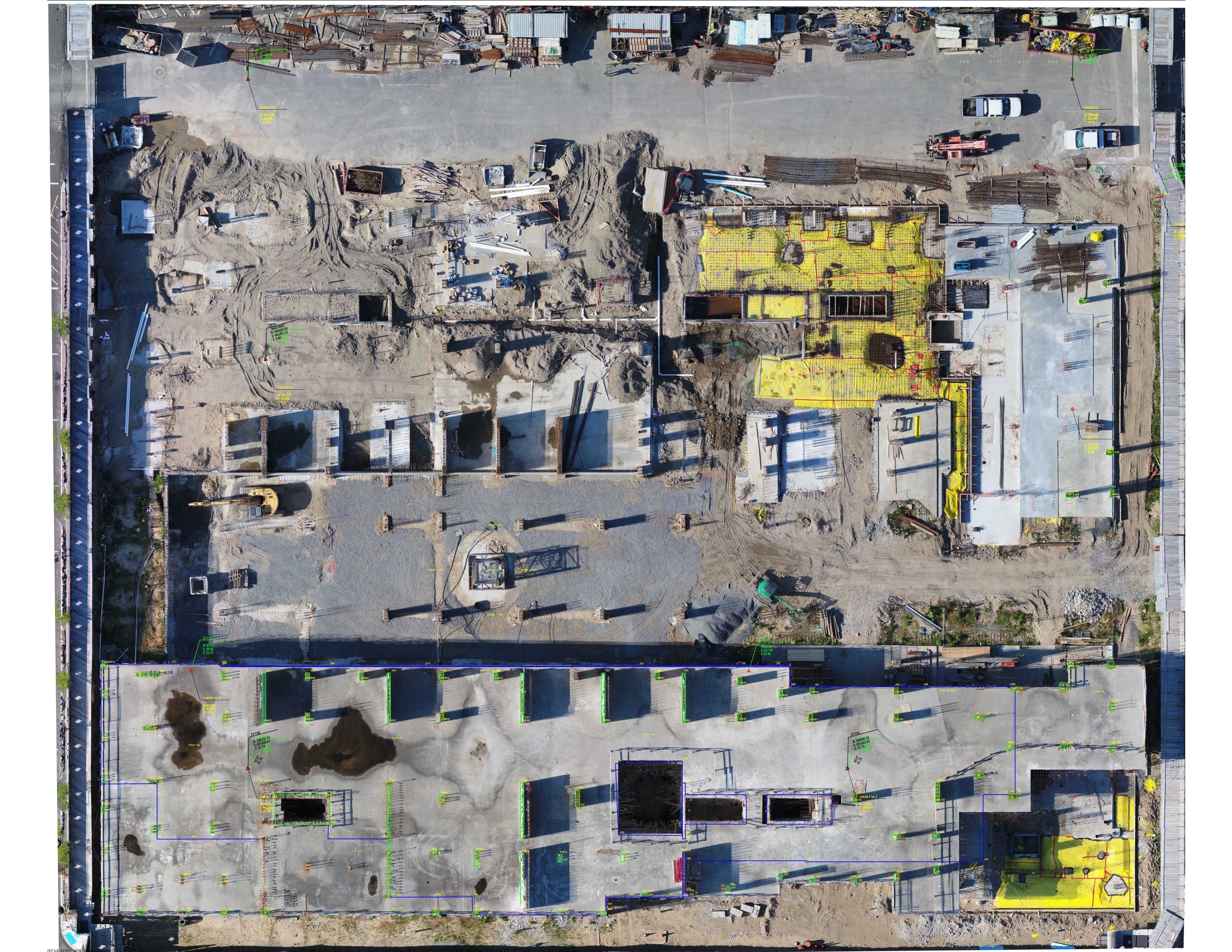
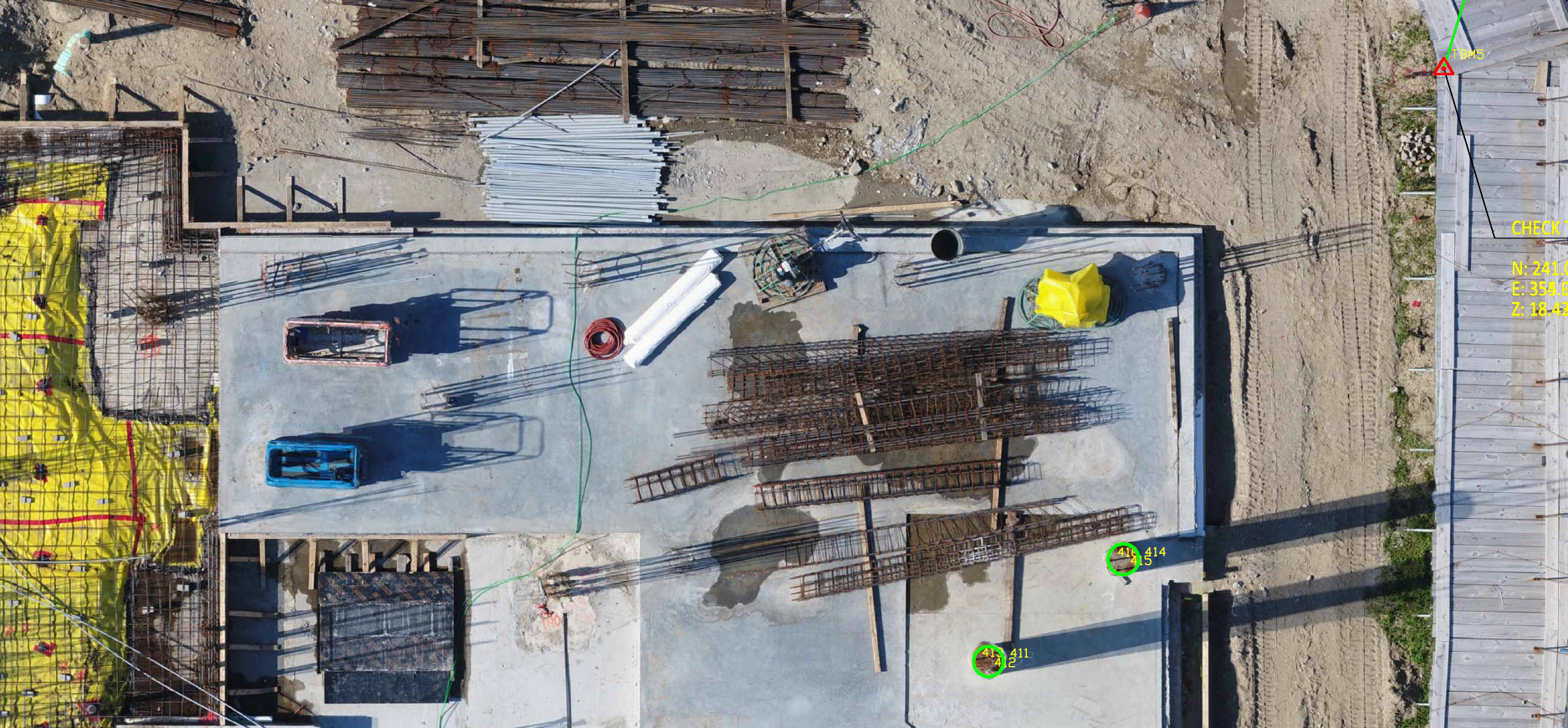
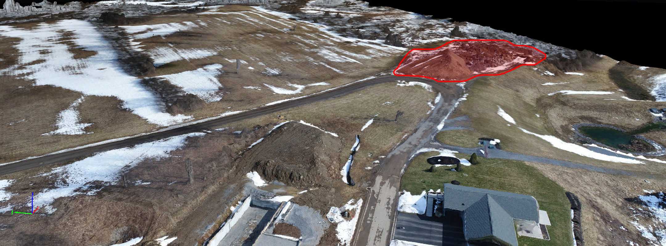
Providing small Unmanned Aerial Systems (sUAS) services, high accuracy field to finished Surveying and 3D solutions. High quality aerial imagery that is faster, more accurate and more cost-effective than satellite imagery. We deliver orthomosaic aerial imagery and maps, 3D Digital Surface Models (DSM), 3D Digital Terrain Models (DTM), and 3D Point Clouds in formats suitable for all of today’s advanced software applications.